![]()
Entry Date: 05.02.2021, at 11:00:00 hrs (local)
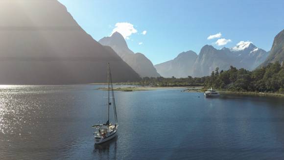
Stewart Island - Nelson
Delta of Camelot River
| PRID: | 12134 |
|---|---|
| LegID: | 328 |
| LegNo: | 76 |
| Latitude: | S045°19.10' |
| Longitude: | E167°10.84' |
| Day#: | 1023 |
| Log (Leg): | 264 nm |
| Log (Total): | 53525 nm |
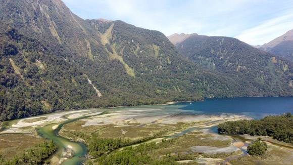
It is low tide and often the water is to shallow to go further up the river arms. Sand banks fall dry and trees, which the river has flushed down to the bay, block narrow water channels.
On foot we walk on the sand banks, most of them are covered with yellow grass plants. We can´t stay long since the water level will rise by 2,5 m between low tide and high tide.
But it is enough time to get our drone up and make birds view pictures of the area. From the air it looks totally different than from land, but at least the same beautiful.