![]()
Entry Date: 09.11.2020, at 18:50:04 hrs (local)
Whangarei - Whangarei
Achoring in the Hatea River
| PRID: | 12043 |
|---|---|
| LegID: | 325 |
| LegNo: | 73 |
| Latitude: | S035°44.64' |
| Longitude: | E174°20.98' |
| Day#: | 982 |
| Log (Leg): | 806 nm |
| Log (Total): | 52001 nm |
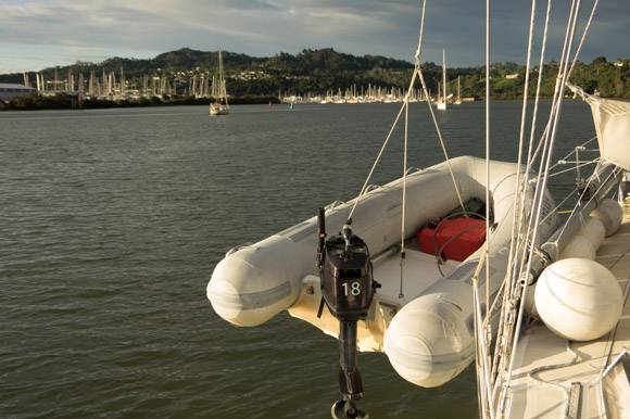
SuAn anchors a good 2 nautical miles downstream the Hatea Rier, outside the ship channel. Various shipyards line the river to the west and mangrove swamps to the east. There is little space to swing around the anchor, but the anchor holds up perfectly in the clay-like mud at a depth of 3 m. Even at low tide the mangrove banks come pretty close but the current usually aligns the boat with the direction of the river.
In the northern bend of the river is the marina Kissing Point, which is mainly used by New Zealanders for permanent berthing.
It is a 30 minutes dinghy ride to the Town Basin Marina and accessable at any time. But with a sailing yacht it should be high tide and the Hatea Bridge will open at demand.